| |
|
|
Home |
Project |
History |
Localization |
Perception |
Publications |
Maps |
WebGIS |
Team |
|
 |
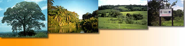
GEOTECHNOLOGY APPLIED TO AGRICULTURAL SUSTAINABLE DEVELOPMENTWHAT IS ESTÂNCIA JATOBÁ?
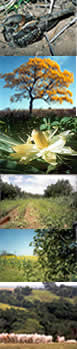
It is a place, a watershed. Forestry engineers call it a third-order hydrologic basin. A little over 200 acres of gentle hills slope from a ridge down to the edge of the Camanducaia River. This is a tributary of the Jaguarí. It empties into the Piracicaba Basin, the principle watershed of the State of São Paulo. This mini-basin is ringed by some twenty natural springs. A lake, about three acres in area during the rainy season, is just below the ridge. Wooded valleys on either side contribute nascent waters and runoff into a central brook. It flows slowly but steadily to a couple of acres of riverine marshland before seeping into the river. By the first half of the twentieth century, the "productive" land here had been cleared and planted in coffee. Later citrus took its turn. A thousand lemon trees and another thousand of sweet oranges remain. From time to time, beans, rice, corn, manioc were planted. There are vestiges of coconut, peach, mango, guava, persimmon, star fruit, avocado, banana, abiu, mulberry, jaboticaba, passion-fruit, pecan and some fruits that interest only birds. A small herd of cattle grazes, until a systemic analysis of the watershed leads to a holistic plan for soil use. The pastures contain a large variety of grasses, but predominantly Brachiaria decumbens, Panicum maximum and Pennisetum purpureum. At the present time, about 100 acres of the property are forest, recovering forest and wetlands; 15 acres are orchards, the rest is grazing range, much of which will be returned to forest.
|
||||||